
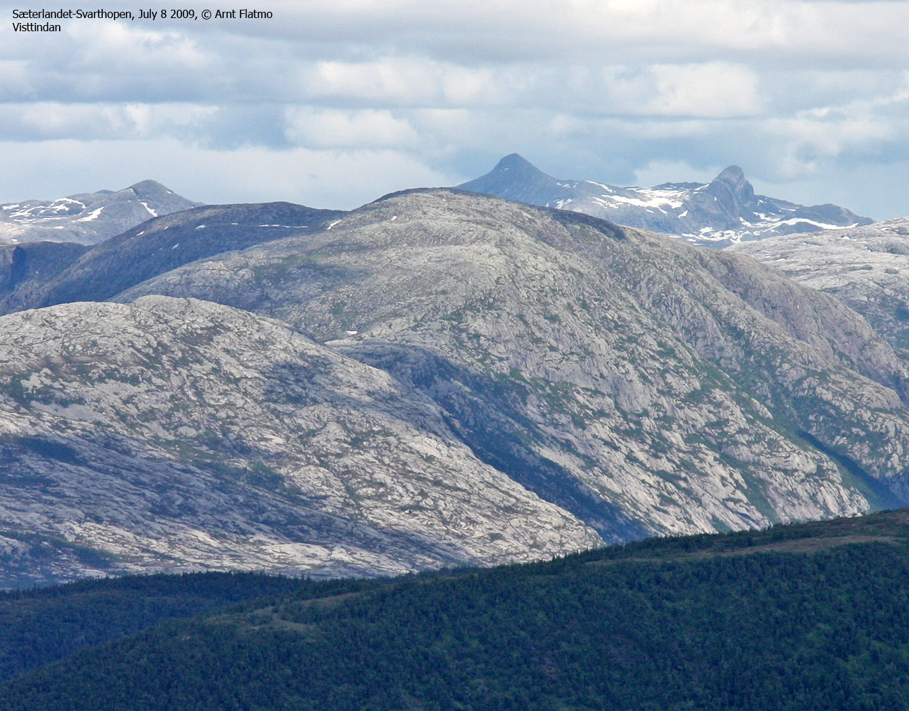
Norwegian Mountains, Nordland
Sæterlandet - Sæterfjellet - Grøndalsfjellet - Svarthopen, July 8 2009
To the main Sæterfjellet/Grøndalsfjellet page (maps, route descriptions, other trip reports, etc.)

Rough overview of the route
(Click for larger image)
My summer vacation in northern Norway was progressing fine. The weather remained gorgeous, and I had done 5 independent mountain tops in 4 days. When I woke up this morning, I still felt yesterday's hike to Hardangsfjellet - a tough one. But staying indoors was simply not an option, and the goal for today was Sæterfjellet (599m) and Grøndalsfjellet (620m). Mom was my hiking mate, just as on Vikerfjellet and Gullsvågfjellet a few days earlier.
I visited Sæterfjellet from Vedal back in 2000, but I had never been to Grøndalsfjellet. I never wrote a report on the Sæterfjellet hike, and had no digital pictures from the hike either. As such, I had an incentive to revisit the mountain. Mom had previously hiked Sæterfjellet from Sæterlandet and skied Grøndalsfjellet from Svarthopen, but wanted to see what Grøndalsfjellet looked like in summer.
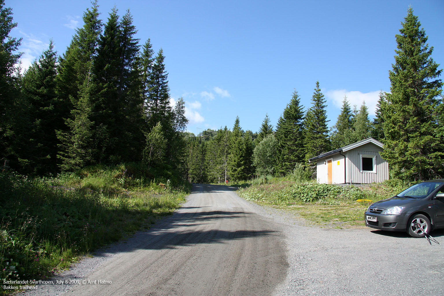
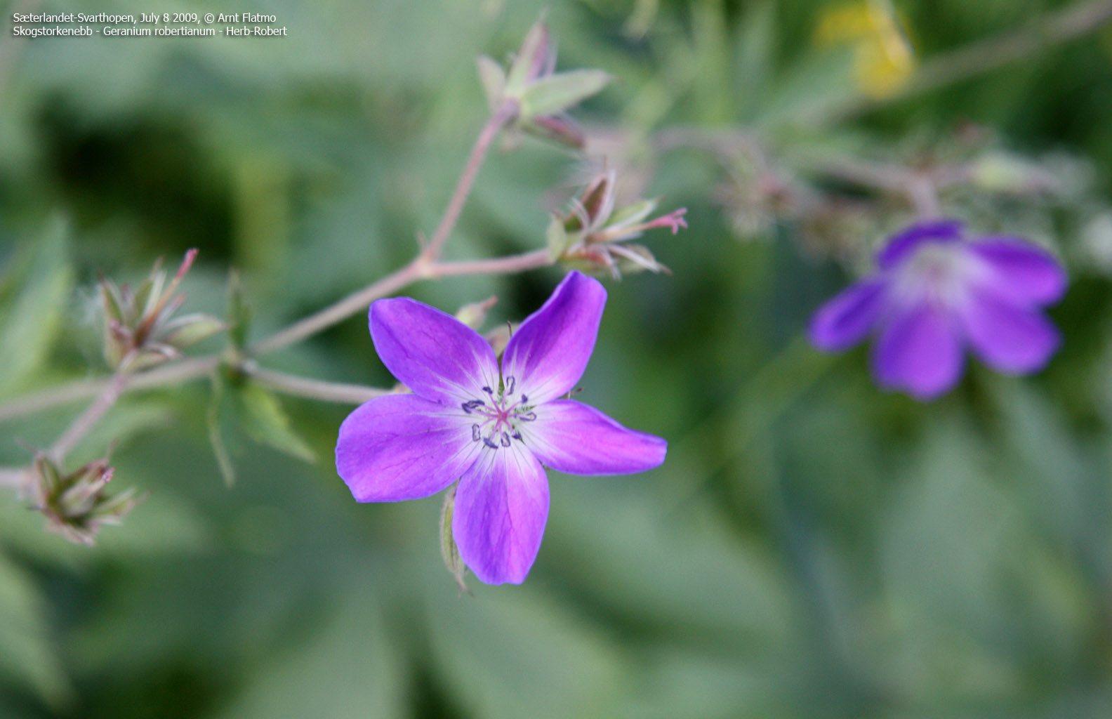
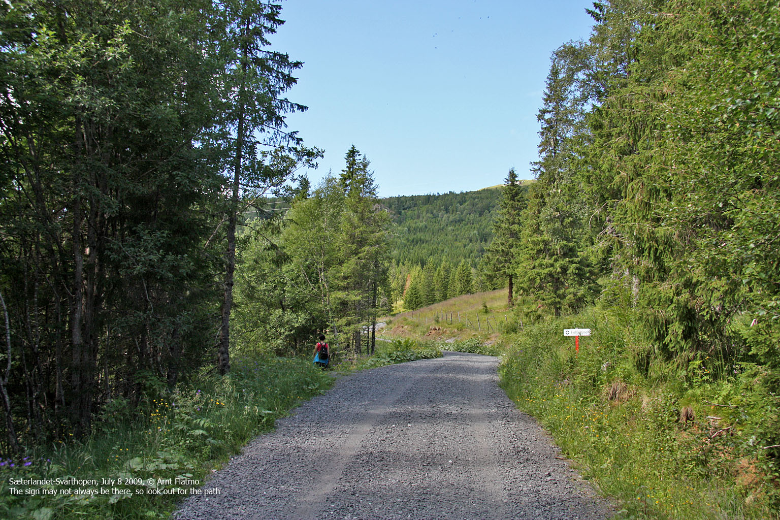
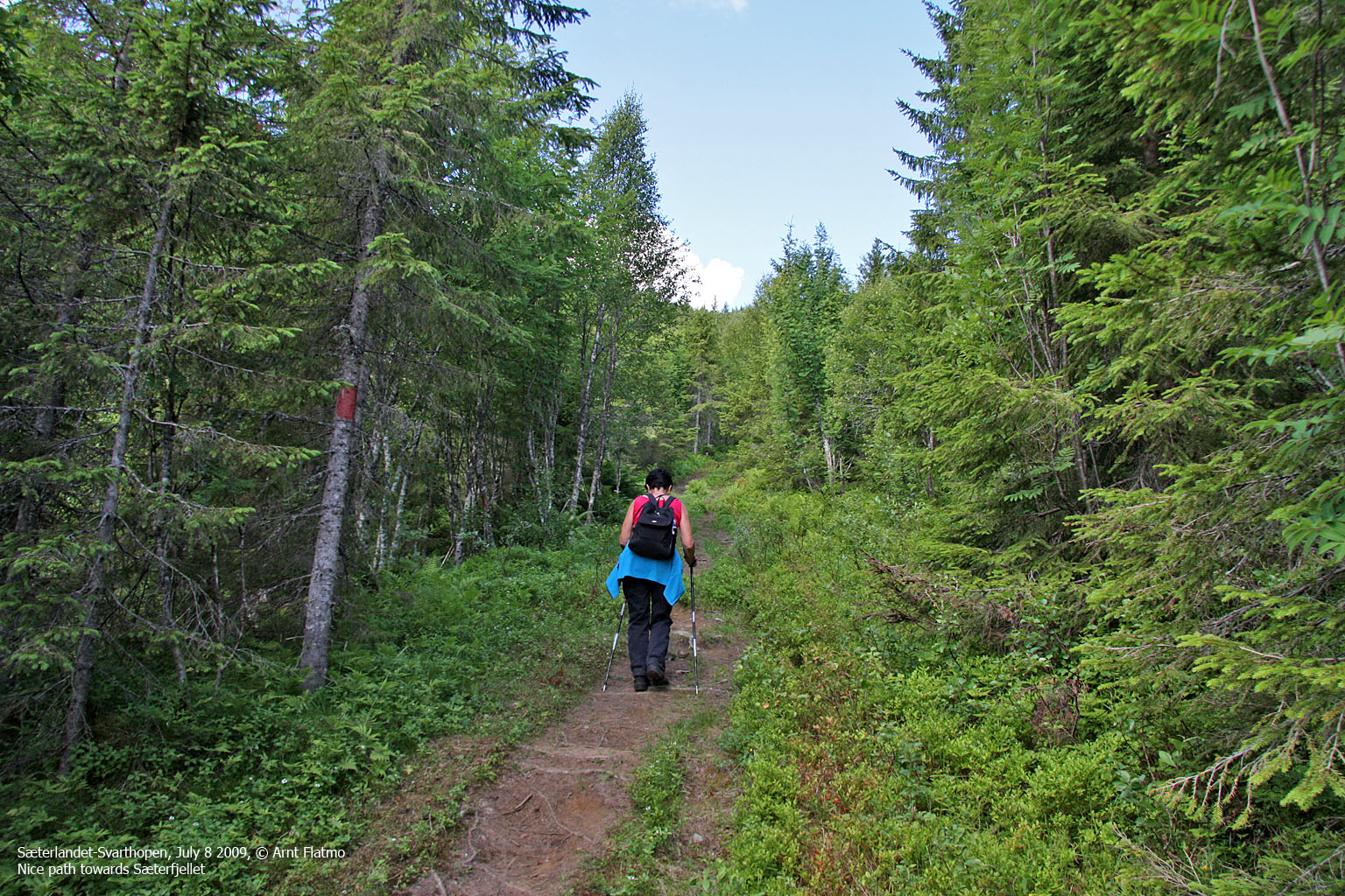
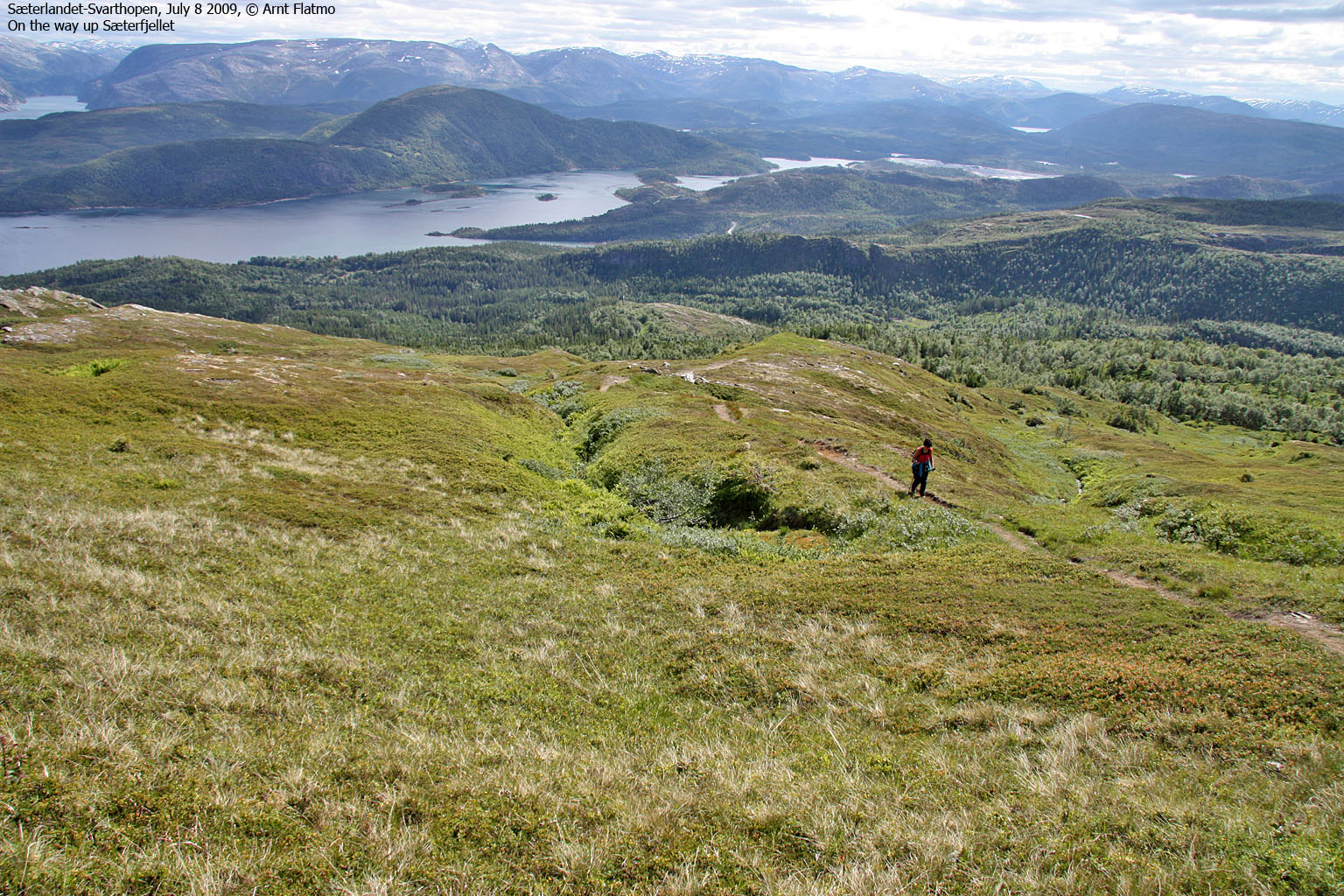
The plan was to ascend from Sæterlandet and descend to Svarthopen. I left my car at Svarthopen and then we drove in mom's car to Bakken at Sæterlandet. The path up Sæterfjellet was nice and easy; a gradual vertical gain all the way.

On the way up Sæterfjellet
(Click for larger image)
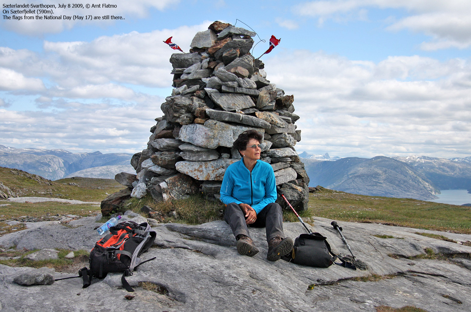
We reached Sæterfjellet summit 11:40AM, close to 1 hour after heading out. Mom was last up here on the Norwegian National Day (May 17th) along with heaps of other hikers. Some flags were still left on the summit cairn.
Grøndalsfjellet seemed further away than I had thought. Based on the map, the distance between the two tops didn't look so bad. There was no distinct path in the direction of Grøndalsfjellet, but we weren't in need of one. The direction was obvious and the the mountain terrain was easy. An eagle passed, working pretty hard at it, as there was no wind. A pretty sight....

An eagle passing by
(Click for larger image)
A path suddenly appeared as we approached the Sæterfjellet - Grøndalsfjellet saddle. This area was slightly rugged, with a number of small lakes. I liked it. As we got into Kverndalen, we lost the path again, and had a few issues with a small birch forest and some bush a bit higher up.
We were now heading straight towards point 595m, which we both thought was Grøndalsfjellet. I think mom felt that the mountainside looked a bit steep, but I had already set my eyes on a route that I suspected would be straightforward. And it was. It was nice to walk alongside Velforden, and a lonesome tree caught my attention.

A lonesome tree
(Click for larger image)
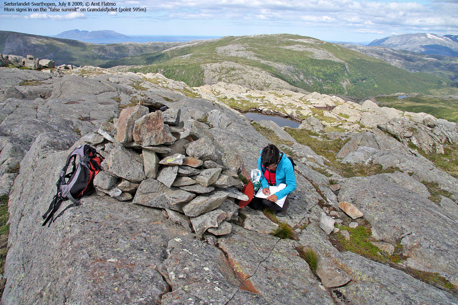
The time was 1:40pm when we reached the cairn on point 595m. The visitor register stated that we were on Grøndalsfjellet - 595m. Which was probably correct, as Økonomisk Kartverk states that point 595m is Grøndalsfjellet. Mom was content with signing the register, but I wanted to go to the high point - 900m to the south. We had been walking almost 8km, and there was no way I would skip the high point. Fortunately, mom is in good shape - and understands my compulsive side, so after a small break we moved on..
Mom seemed to enjoy finding the route amongst slabs and some steep sections, and at 2.05pm, the Grøndalsfjellet high point was in the bag.

To the high point
(Click for larger image)
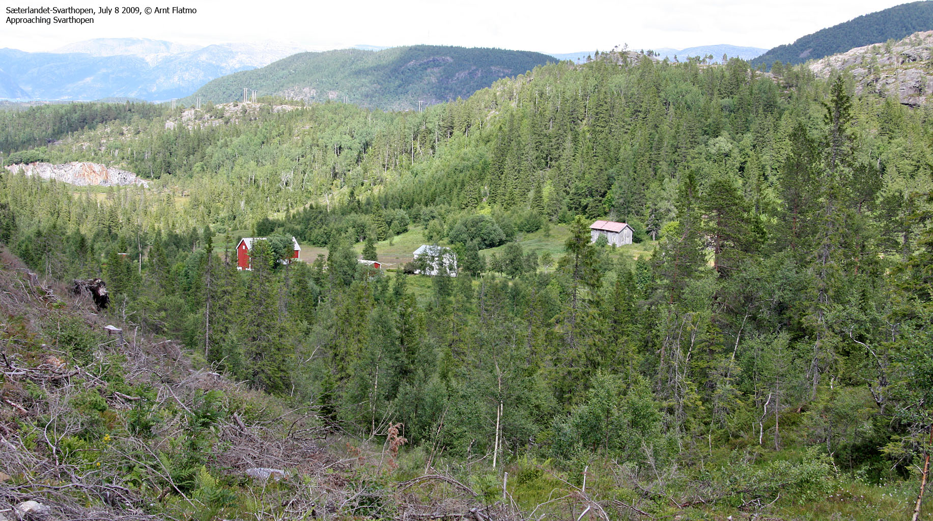
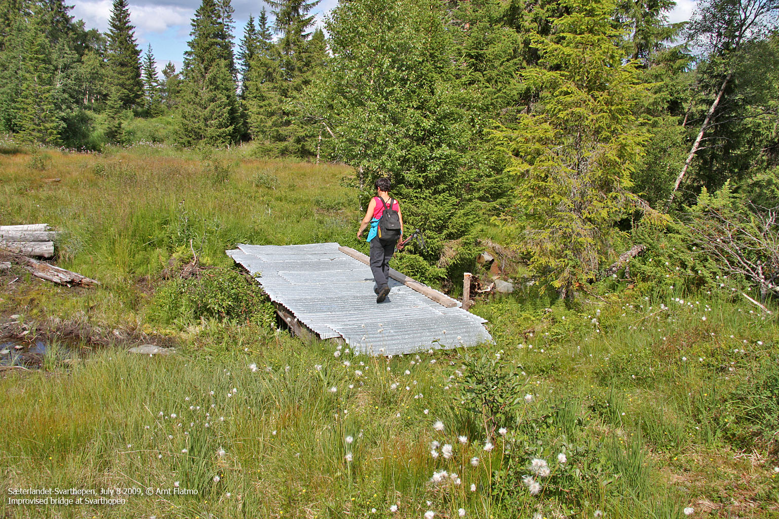
The time had come for the descent. No path was to be seen, as we made our way down the Grøndalen valley. The combination of slippery rocks and high grass was not the best one, forcing us to take it nice and easy along the creek. I took a bearing towards a cabin that I could see on my GPS - confident that we would find a path there.
And sure enough, next to the Ludvik-Kåsa hut, we found a path that turned into an old forest road. A kåte is a teepee, but this one was made of solid timber. It was open to the public, and very cosy on the inside.

Ludvik-Kåta
(Click for larger image)
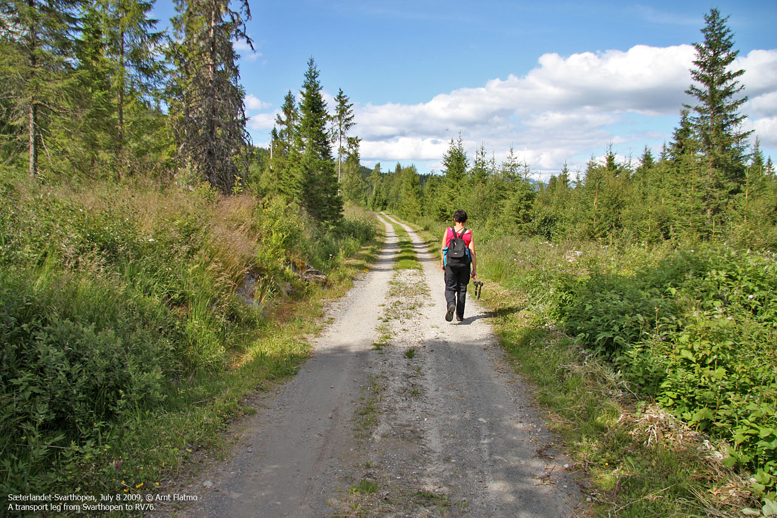
We followed the forest road to Svarthopen, and then the main Svarthopen road back to highway RV76. The time was 3:35pm when we reached my car - having been on the trail for almost 5 hours. The distance was 15km and the vertical gain 850m. My legs were a bit tired now, having done almost the same distance (and hours) the day before.
The next day I drove to Bødø to hike Eidetinden and climb Strandåtindan.


