
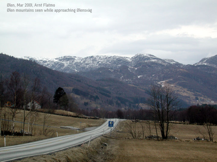
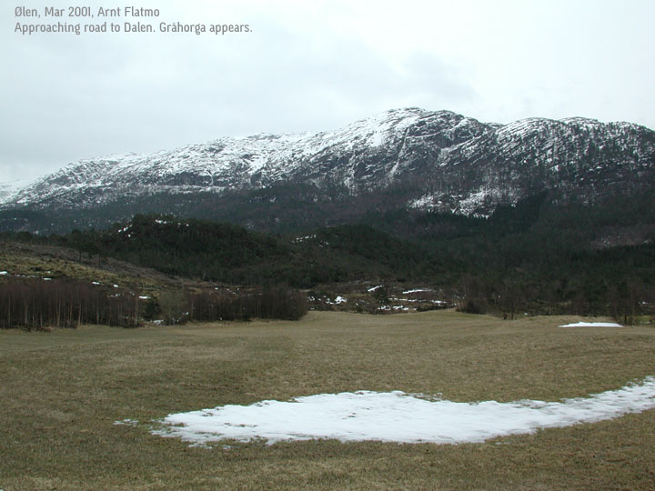
Gråhorga, 740mMountain area: Ølen, Rogaland fylke Map: xxx xx Samnanger (Statens Kartverk, Norge 1:50 000) GPS: |
 Graahorga seen
|
Access:
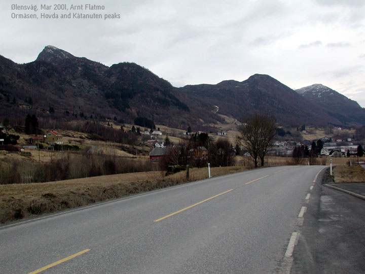
From Bergen, follow highway E39 to Os, take the ferry from Halhjem to Sandvikvåg
on Stord island. Follow E39 across Stord (road to Stavanger), drive over the new bridge
(toll road) and take the tunnel to Valevåg, Sveio. Follow E39 south down Sveio
Kommune, and exit east on highway E134 at Våg. Follow E134 until you reach
Ølensvåg. Follow highway 543, signed "Utbjoa". Drive to the north side of the
peninsula and exit left on to a small road signed "Dalen". Follow this road approx. 400m
and park the car by the signs "Bjoavatnet rundt" and "Graåhorga".
The trail: (click on the image for a larger view)
|
Follow a gravel road a short distance to lake Bjoavatnet. Follow the trail on the left-hand side of the lake, and at the first trail junction, take the left trail, marked "Gråhorga". The trail runs south-east before it turns east up the pass between Husafjellet and Heilo (Gråhorga's north ridge). The trail is marked with red paint on rocks. Once you reach the lake Gråhorgavatnet, you're on your own. The summit is on your left-hand side. |

|
Notes:
Expect 2 hours up. In good weather, this is an easy hike without scary moments. Walking
in late March, with random snow, I had no troubles with the trail in the forest (corridor) or
the red painting on the rocks, until I reached the upper lakes. At 600m, a storm set in, making
it impossible to see anything. I knew the direction, so I walked blinded around the lakes before
I headed for the top. Distance from Bergen and back is approx. 250km. Money fly on this trip -
2 x ferry and 2 x toll bridge. In addition, my planning failed. I thought the new tunnel would
take me straight to Ølen, but to my (annoying) surprise, I entered Sveio kommune, and
had to take the long way down south (almost to Haugesund) before I could head north towards
Ølen. On the way back, I drove through Utbjoa and took the western country road down
to Isvik, to get some variation.
Pictures: (move cursor to read notes, and click on the images to see full version)


Other trail descriptions for this region: