
|

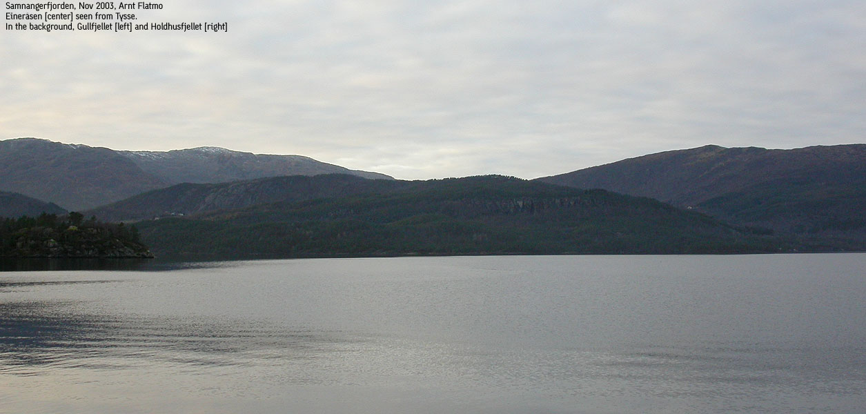
Eineråsen seen from Tysse(No Javascript) |
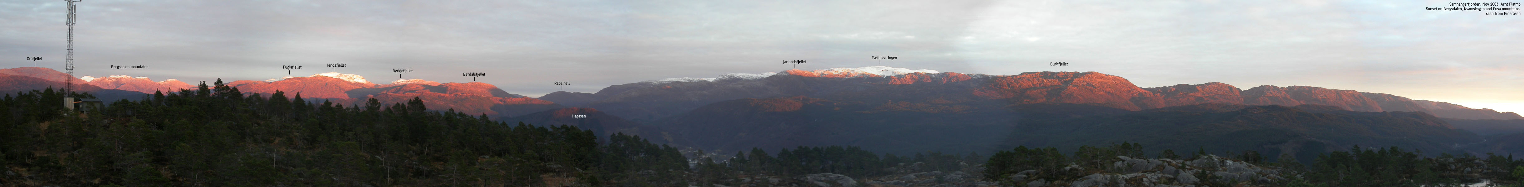
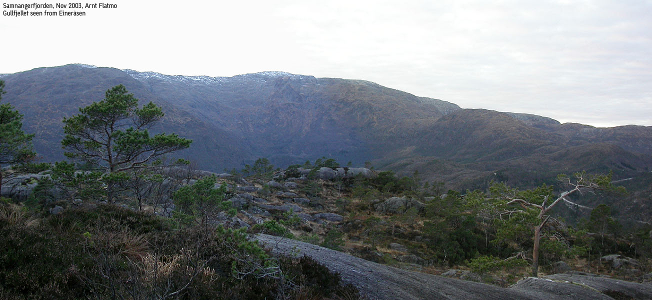
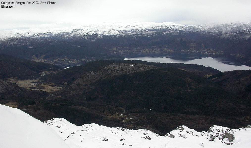
Eineråsen is a low forest hill located just west of the inner part of Samnangerfjorden. Although it completely falls into the shadow of the higher Gullfjellet massif, the summit offers a very good view towards the mountian range stretching from Bergsdalen to Fusa, through Kvamskogen.
I have not had the time to investigate the summit plateau, but on top you will find a large mast, probably radio and/or TV. What I believe to be the high point is not marked by any cairn. I will do a bit more research and update this web page accordingly.
Eineråsen (M711: 335m, Ø.K: 334,96m) has a primary factor of 192m towards the higher Krånipa (706m) The saddle is found just east of Leitet. Ref. Økonomisk Kartverk (5m contours), you cross the 145m contours on the high route, but not 140m. The saddle height has been interpolated to 143m.
Note: Class ratings are in reference to YDS (Yosemite Decimal System).
Note: The trail described below is not necessarily the easiest trail to this mountain.
|
Storelvi - Eineråsen (summer/autumn)
|
|
Access
From Bergen, follow E16 towards Oslo. At Trengereid, exit right onto highway 7. Follow highway 7 down to Samnangerfjorden. On your way down to Samnangerfjorden and Bjørkheim, exit onto a paved highway towards "Os". Drive 1Km and locate a turnout (fits one car) on the left hand side of the road.
The route
Cross the river Storelvi across a bridge and follow a path up to a cabin. From here on, the rest of the hike is strenuous off-trail hiking in steep terrain. A good idea is to follow a cable (well above ground) stretching from bottom to top of this hill. Visit a high point beyond the high mast. Then seek SW towards a point I believe is the high point. Descend your ascent route.
Note that a lot of switchbacks are required in the hillside when the rock is wet.
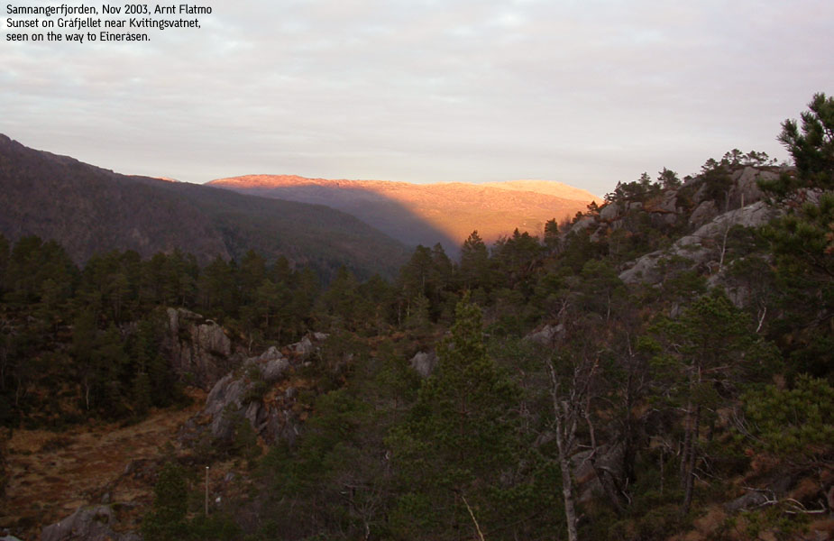
I was on the way home after a very pleasant hike on Våkefjellet, and found I had just enough time to collect this hill before sunset. I had no idea about any trails up this hill, so I chose the hillside with less forest. I was lucky to find a place to cross the river straight away, and I was on my way 15:15PM.
I was following a path which I thought would lead all the way to the top. But it ended after a couple of minutes, by a cabin. Now it was just a matter of getting to the top. I had considered leaving the dog back in the car, as the plan was to be back within the hour. But I didn't feel good about that, so I put him in the backpack. In case it would be twilight zone before I got down, I decided to follow a cable upwards and use that as a guide. The hike up was strenuous, but I reached the likely high point at 15:50PM.
I decided to visit a point next to the mast before I headed down. I took a more direct route on the way down, and it was a rough descent. I stopped counting the number of "hmmmpfs" from the backpack. The time was 16:20PM when we returned to the car, and it was pretty dark in the forest 15 minutes later.
Move cursor to read notes, and click on the images to see full version.
Some of the thumbnails may have been cropped to fit the format.
Pictures are presented in the order they were taken.


No Javascript:

No Javascript:
 Other hordaland mountains
Other Vaksdal K. mountains
westcoastpeaks.com
Other hordaland mountains
Other Vaksdal K. mountains
westcoastpeaks.com

