
Norwegian Mountains, Hordaland
Dyngelandsåsen & Furekampane, Apr 17 2008
To the main Dyngelandsåsen & Furekampane page.

PF-caching in the forest
(Click for larger image)
is a distance prominence ladder. As my friend Petter states on his page: this is the sequence of peaks having increasingly larger prominence by moving further and further away from your house.
Petter was now in the process of completing his list (Mt. Everest excluded...) and since I was in Bergen - to join Petter on a ski-trip in the Italian alps, I wanted to come along. I know the Bergen mountains quite well, but to be honest - Dyngelandsåsen and Furekampane were new territory for me. When I collected Hordaland mountains, I had 300m as the lowest elevation.
No rest for the wicked..
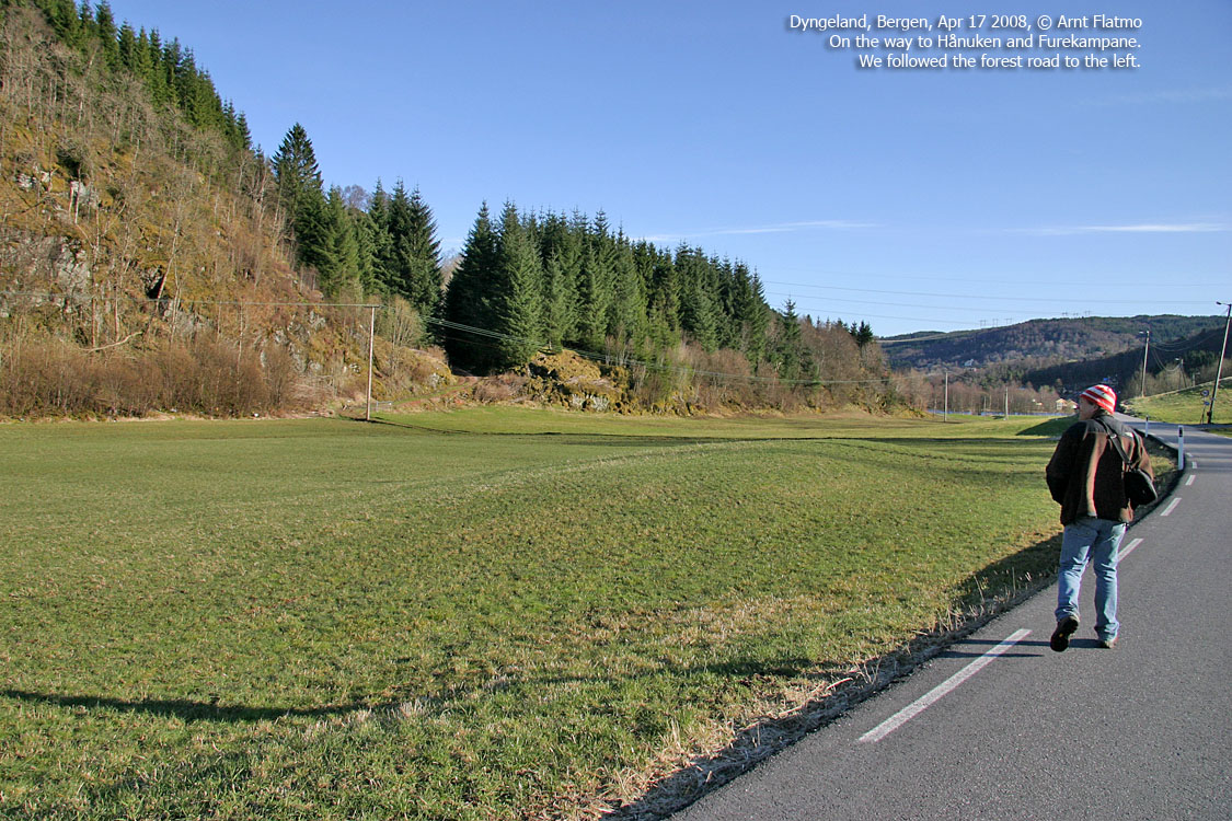
I left Ålesund on the 14:25PM flight to Oslo (traveling in hiking gear), and got a bunch of good aerial pictures along the way (coming soon..). My 15:50PM flight to Bergen landed on time, 16:40PM. Petter picked me up at the airport, and we were on to new territory, currently named Dyngeland.
Dyngelandsåsen, 196m
We drove up to a house in Dyngeland. It was a nice summer afternoon, and the lady in the backyard was enjoying the sun. Our arrival was sudden, and once .. properly dressed .. she granted us permission to park by the house. Our excuse for the visit that we were going to measure something. It was not at all a lie, albeit there was nothing official about our presence.
17:15PM, we were on our way to our first target, and 17:30PM, we were on top of Dyngelandsåsen. We spent some time trying to figure out which of the two rocks were the highest. The result was a draw, and we continued southbound to check out the southern top. Getting good GPS signals in the forest wasn't easy, so good logic had to be applied. We then took a short-cut back to the car by 18:00PM, the Dyngelandsåsen research project was over.
Hånuken and Furekampane, 234m.
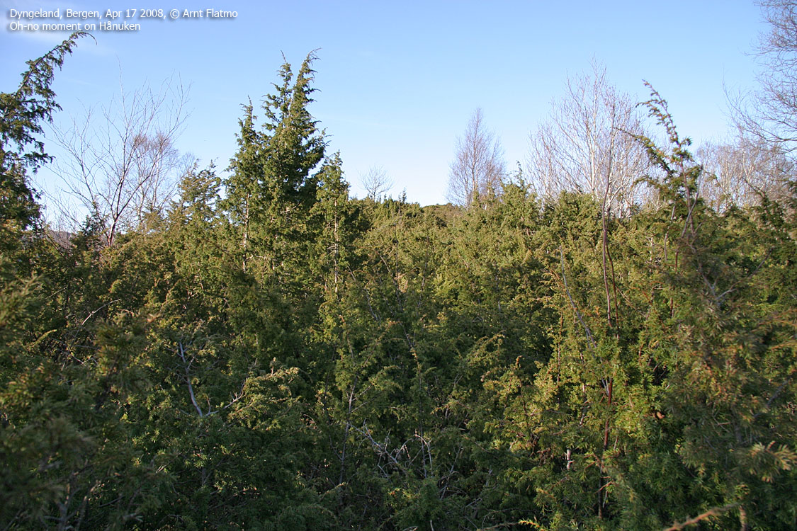
We drove down to what we estimated had to be Dyngelandsåsen's PF saddle. After concluding it was roughly 80m, we headed for Furekampane. We soon went off-trail and the terrain got steeper and steeper. Thus, more interesting. After a quite steep scramble, I ended up in the worst juniper jungle I've ever seen. But fortunately, a path was quickly discovered. 18:40PM, we enjoyed the views that Hånuken (232m) had to offer.
By now, I thought that our research project was over and that the dinner at Petter's house was imminent. But another hill (apparently equally high) was spotted 600m to the north. When Petter said now that we're here .., I understood that the mission wasn't quite over yet.
19:00PM, we were on the highest point on the Hånuken - Furekampane ridge, and we had to decide how to get back down. The shortest route is often the best, and we headed for the south end of lake Grimevatnet. Once down, it looked as we were quite lucky about the descent route. Steep cliffs were seen both to the left and right of our route.
19:45PM ..
a tasty dinner was awaiting at Heidi and Petter's house. Afterwards, we got our backpacks ready for our trip to Italy. The plane left 06:05AM the next morning, so calling it a day was quite in order. Next stop: Graian Alps, Italy (soon to follow..)
Petter's trip reports can be found here:


