
|

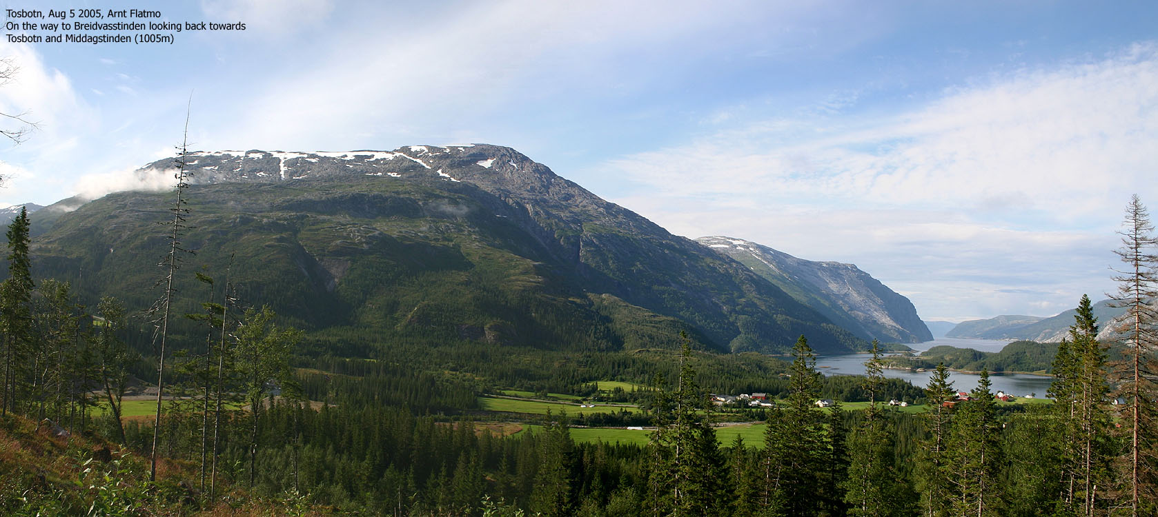
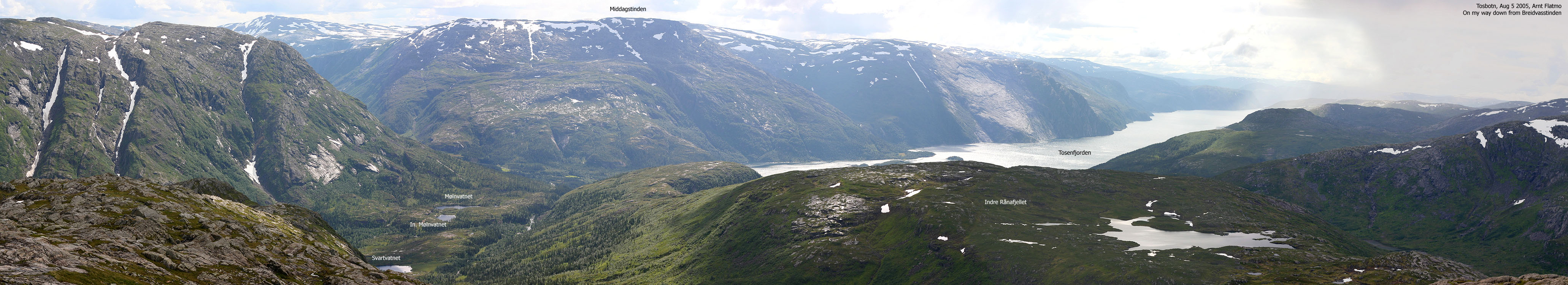
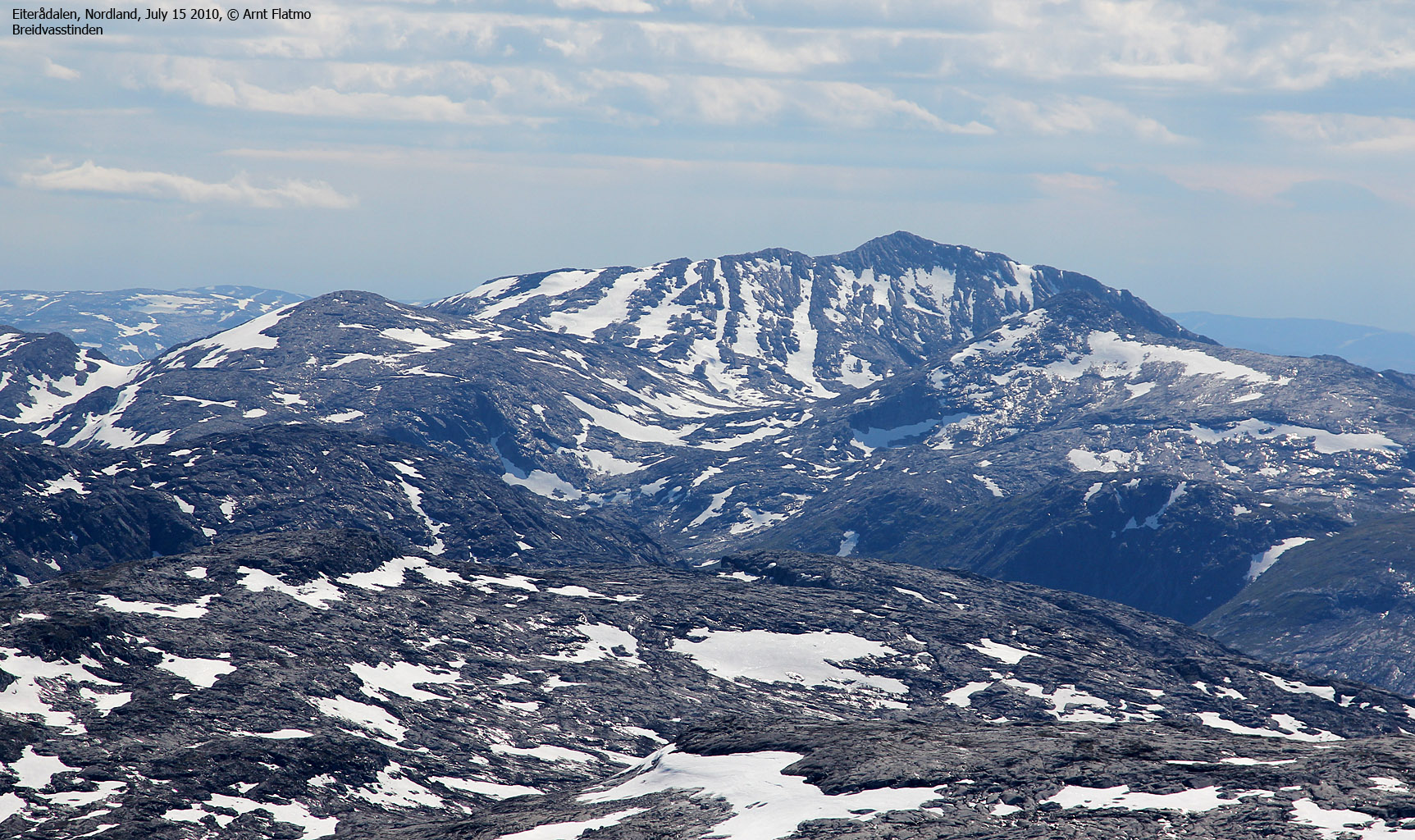
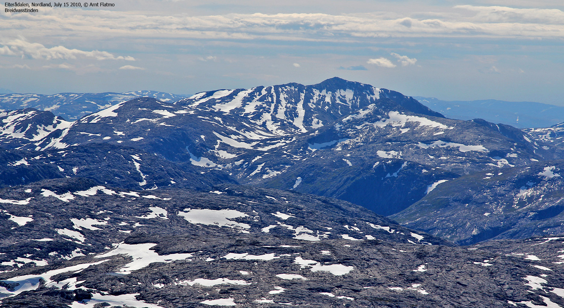
Breidvasstinden and my route seen from Middagstinden(No Javascript) |
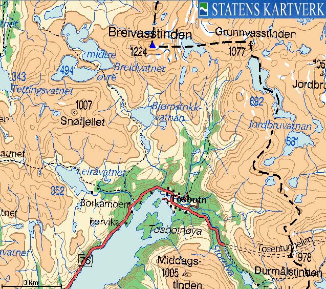
Breidvasstinden (often also spelled "Breivasstinden") is known as the highest mountain in Brønnøy kommune (Nordland county). The 1825-I Tosbotn map from 1985 does not show the Brønnøy/Grane kommune border on this mountain. Norgesglasset (3Km zoom) and other resources on the internet indicate that the kommune border runs across this summit. However, as far as I understand, there is an ongoing debate regarding the kommune border in this region.
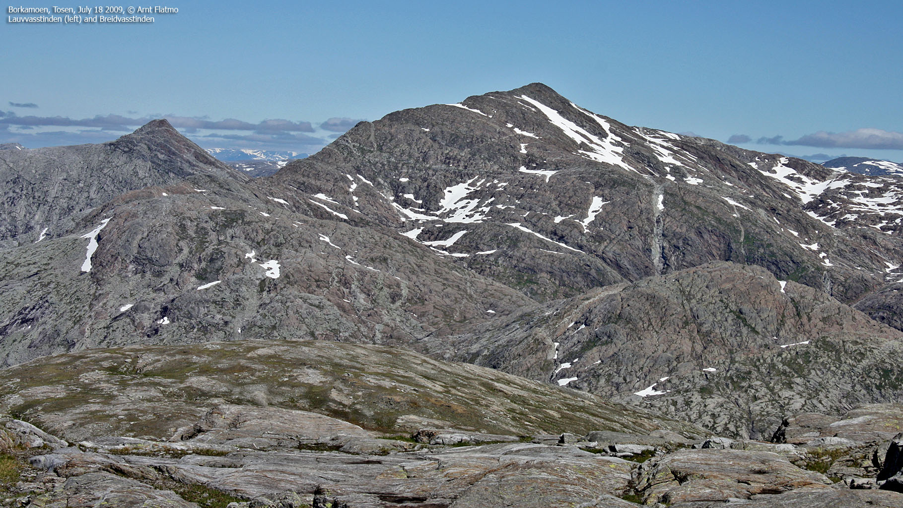
You can get to Breidvasstinden through a number of routes, but the fastest route to the mountain runs from Borkamo or Tosbotn by Tosenfjorden. The route description on this page describes a route along the Tverråa river and the east ridge above Svartvassdalen valley. This seems to be the fastest and most direct route to Breidvasstinden.
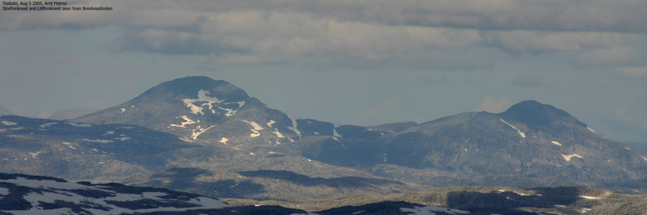
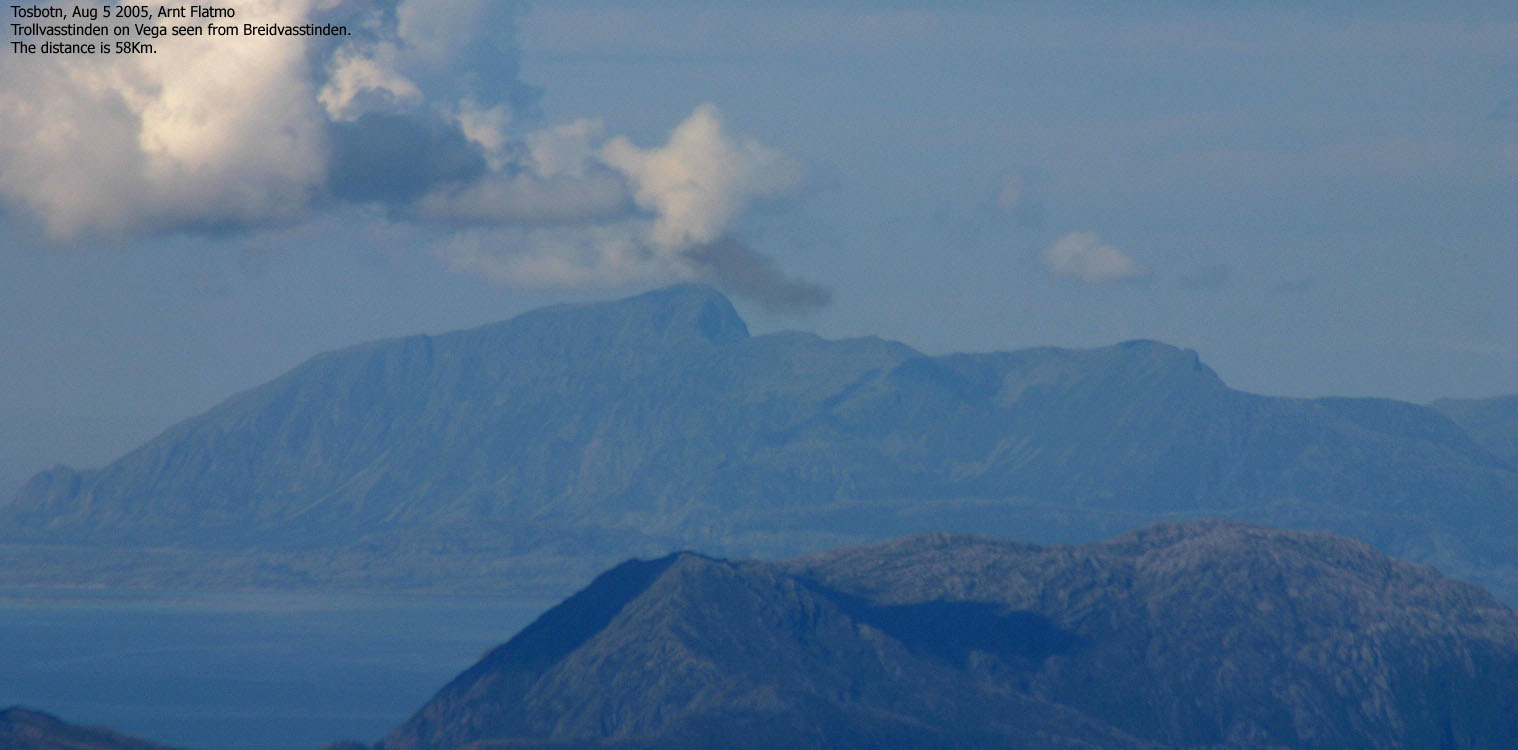
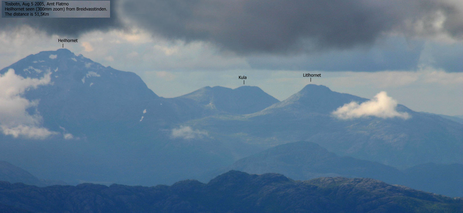
Breidvasstinden is a popular mountain, although it is quite remote compared to the other popular mountains in the Brønnøy region. In addition to being the kommune high point, the mountain is also popular because of its views. It is truly a good place to start if you want to get an overview of the Brønnøy mountains. In addition, it is easy to identify other well-known mountains such as Syv Søstre, Finnknean, Visttindan, Børgefjell and Heilhornet in Bindal.
Breidvasstinden is the 6th highest mountain in the mountain region enclosed by highway E16 (east), RV17 to Namsos (south), Vefsnfjorden (north) and the ocean. This mountain region stretches 170Km from south to north and the highest mountains in this region are; Storklumpen/Blåfjellet (1293m), Kvitfjellet (1246m), Langskardnasen (1244m), Langskardfjellet (1240m), Vistkjerringa (1239m) and Breidvasstinden (1224m). All mountains are found inside a 15x17Km square area north of highway RV76.
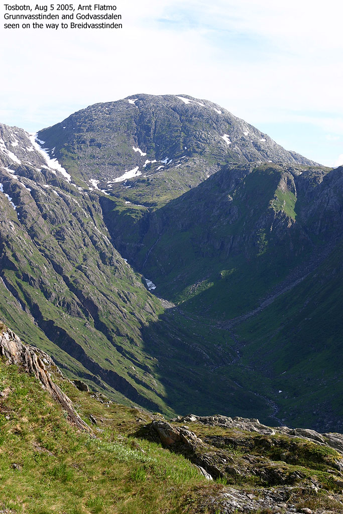
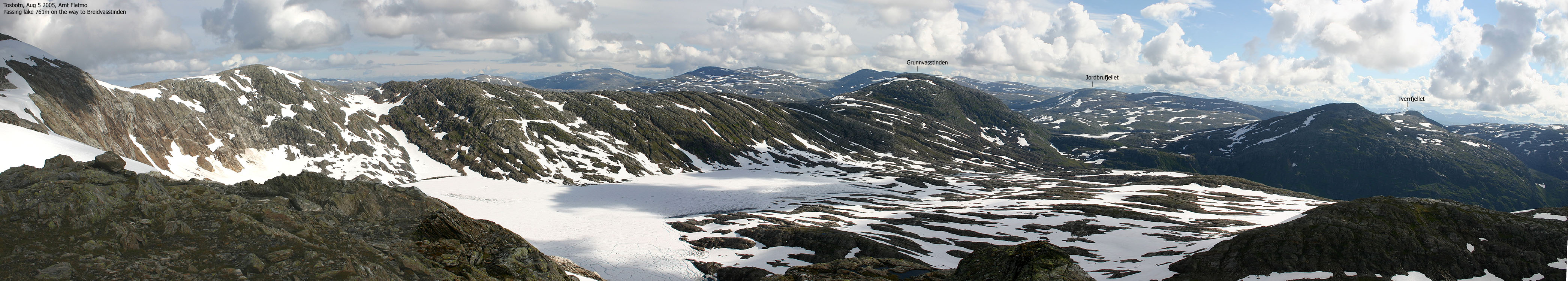
Breidvasstinden (1825-I: 1224m, Ø.K: -) has a primary factor of 506m towards the higher Langskardfjellet (1240m). The high route runs across point 1092m, point 1011m, Grunnvasstinden, Jordbrufjellet and Gåsvasstinden. The lowest point on this route (the saddle) is found at the north end of Lake Øvre Jordbruvatnet. Ref. the 1825-I map (20m contour maps), you cross the 720m contours on the high route, but not 700m. The saddle height has been interpolated to 718m, as the adjacent 720m contours are very close.
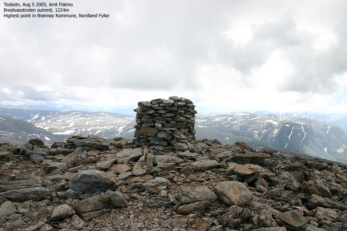
My GPS reported 1227m over a 10-minute period (top of cairn), on point 33 W 403996 7254331.
Notes: Class ratings are in reference to YDS. Click here for more information.
The trails described below are not necessarily the *easiest* trails to this mountain.
|
Tosbotn - Breidvasstinden (summer/autumn)
|
|
Locate Storelvbrua bridge at Tosbotn between Brønnøysund and highway E6. If you come from Brønnøysund; Locate a road that forks from the main road approx. 90m before Storelvbrua bridge. Turn left from the main road and then right in the upcoming Y-fork. You're now on the old RV76, running as a branch to the new road.
Follow this road approx. 430m and turn left onto a smaller road. Follow this road approx. 600m (you cross Tverråa river via bridge along the way). A forest road runs up to your left. You can follow this road 50m and find parking by an open field just inside the forest.
Follow the forest road which switchbacks up the forest. Pass lakes Mølnvatnet and Indre Mølnvatnet (the forest road becomes a tractor road along the way) Follow the tractor road that will take you to the banks of Tverråa river. Once upon a time, there might have been a bridge here. But not per Aug 2005. Seek 50m westbound along the river bank and locate a bridge with temporary characteristics. This bridge will get you across Tverråa.
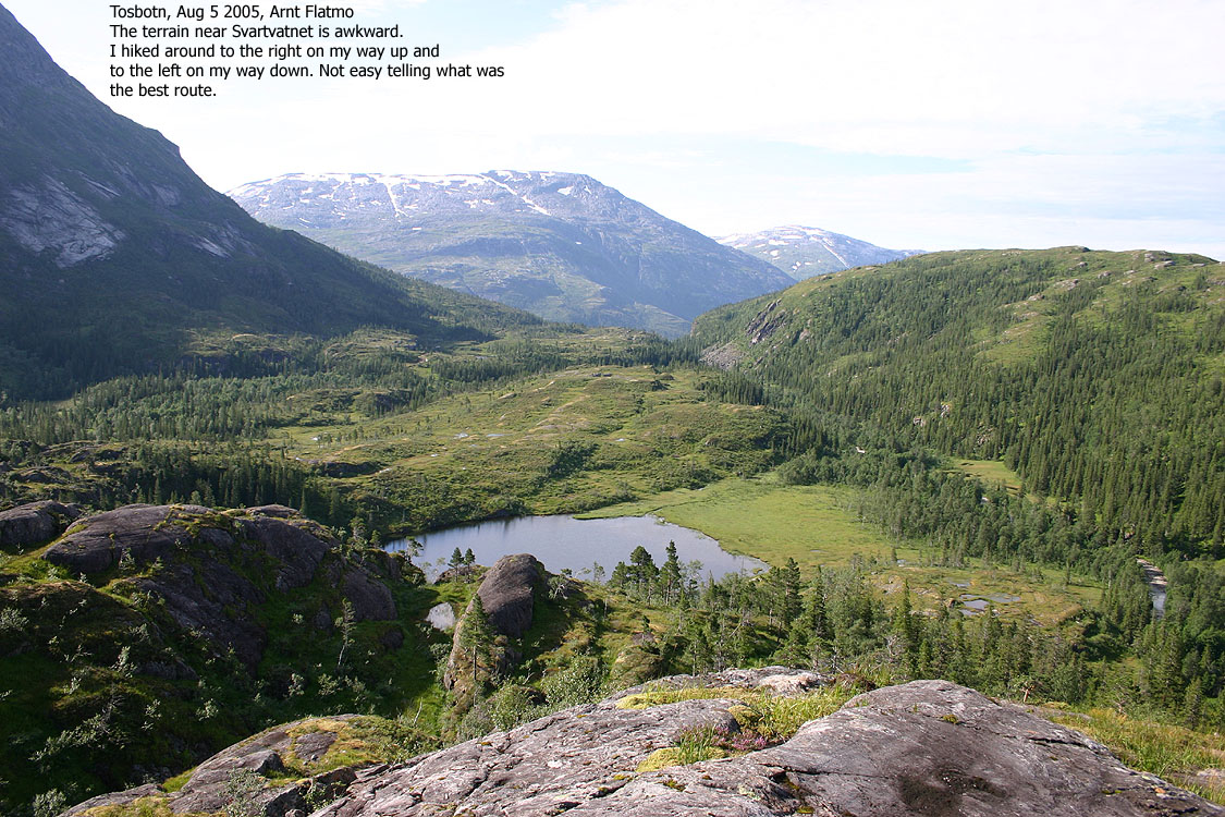
Proceed directly northbound towards Lake Svartvatnet. There are no more paths on the route. The route up to Svartvatnet is open and sometimes boggy terrain. At the lake you have two alternatives; a) Pass the lake on the western side and then up to point 239m, or b) pass the lake on the eastern side and ascend to point 239m via a short northern detour because of steep walls below point 239m.
Locals often head westbound here, cross the drains coming down Svartvassdalen valley and ascend up to the col between Rånafjellet and Indre Rånafjellet. The route across Rånafjellet and the route described on this page merges higher up by Lake Kaffivatnet. After days with rain, the drains from Svartvassdalen can be tricky to cross.
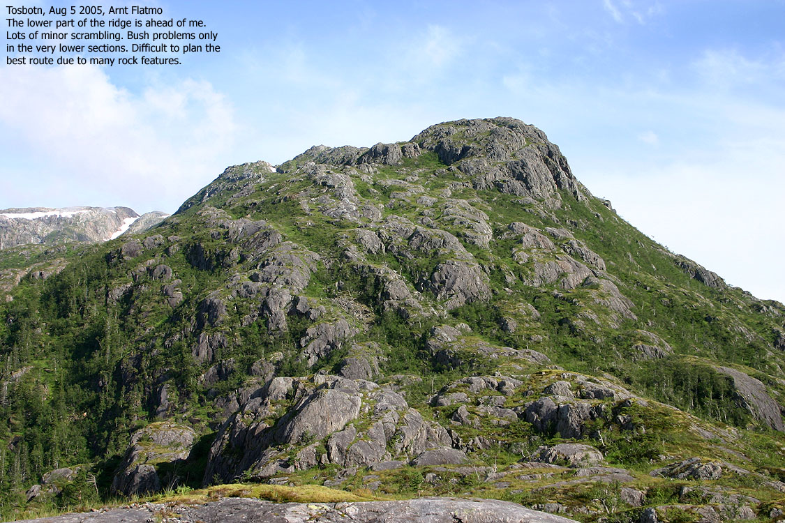
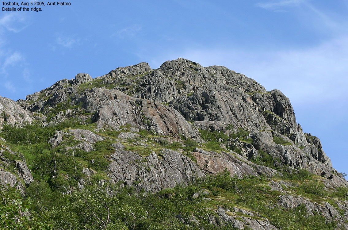
From point 239m, descend to the start of the long ridge that leads to Lake Kaffivatnet. Stay on the west side of the ridge and gradually move towards the center as the ridge gets less steep. It is difficult to spot the easiest route and you will find that you are constantly correcting your bearing.
When you reach Lake Kaffivatnet (821m), get to the west bank and ascend to a very distinct ridge that will take you up the ridge between Breidvasstinden and point 1092m. Turn gradually left and set your course directly towards Breidvasstinden. Some routefinding is necessary as you pass a few humps on the way to the summit. It gets quickly steep if you take the wrong route. The summit is marked by a proper cairn.
Descend your ascend route. You also have the option to descend Breidvasstinden's west ridge and follow the route along Bjørnstokkvatnan lakes towards Bekkevoll or Borkamoen.
I was supposed to be on my way home from northern Norway this morning, but when I saw the good weather forecast the day before, I decided to postpone the departure. Breidvasstinden had been on my wish-list for a long time, and now I had the perfect opportunity. I had spoken with Trond Tveråli a few days earlier and he recommended the route across Rånafjellet. This was the plan when I left the trailhead 08:35AM.
I always had this idea about Breidvasstinden being an extremely remote mountain. The ones I knew having been to this mountain had camped along the way. But when I got the entire route in view from Middagstinden a few days earlier, it didn't seem that long. I looked closer at the map and found that the hike would be similar to many of my week-end hikes. In fact, I was convinced I would reach the top within 4 hours. I didn't know exactly how long the forest road ran and if there were obstacles along the way, but my "thumb of rule" is 4 hours per 10Km. While carrying a dog. But the dog wasn't coming along on this hike, so I was pretty sure I would be standing on the top before 12:30PM.
The forest (and later tractor) road was very convenient and by 09:10AM I was standing in front of Tverråa river, wondering how I should get across. Trond had told me that there was a bridge, but where was it? I walked all the way down to the river bank and noticed the strangest looking bridge I've ever seen, 50m further west. I crossed the river and wondered where to go next.
Then I discovered bent grass towards the north. Someone had recently walked this way, and I followed on. The plan was to cross the stream from Svartvassdalen as Trond had explained. However, based on the roar, the stream should now be called a river. I could see the river high up in the valley, and it looked wild. If it was wild up there, it would not be less amounts of water down here. I decided to continue straight ahead and follow the route I had planned while standing on Middagstinden.
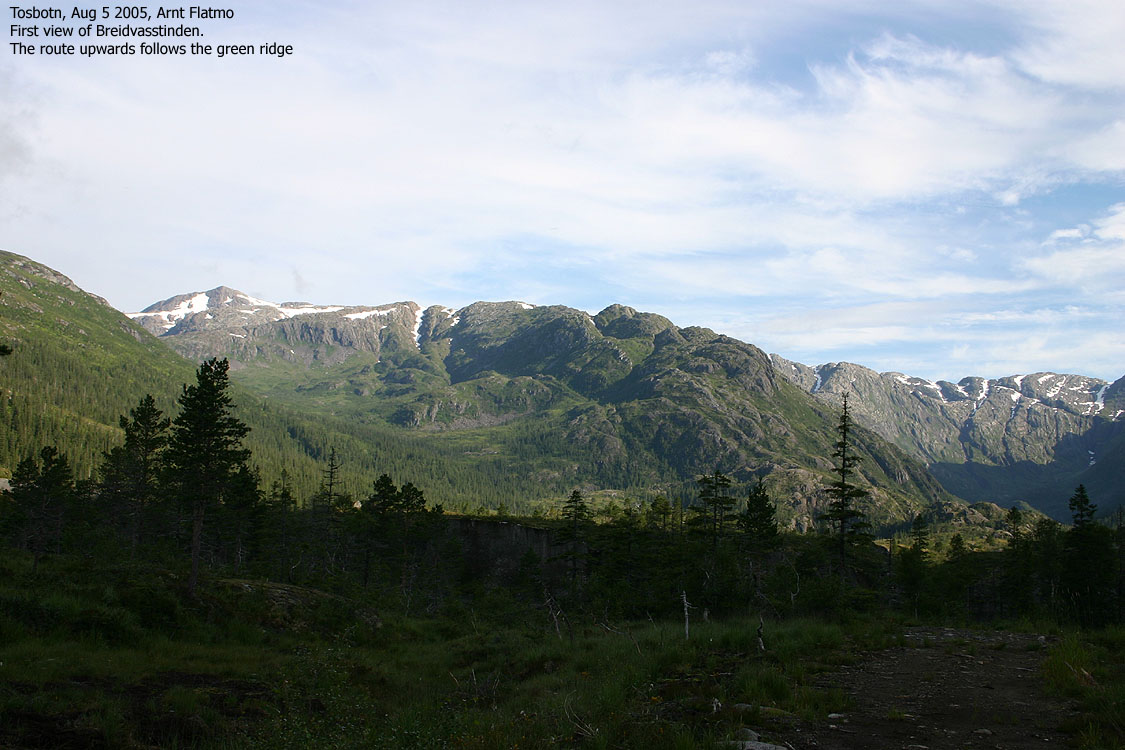
Getting onto this ridge involved ups and downs, bush, grass and spider webs. It felt good to be on the actual ridge and to proceed upwards without other problems than finding the optimal route. I had divided the route up in 4 parts - one per hour - and so far I was ahead of schedule. I was traveling light and had an efficient pace without rushing anything.
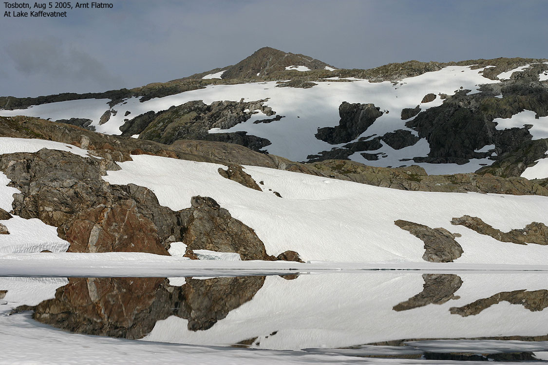
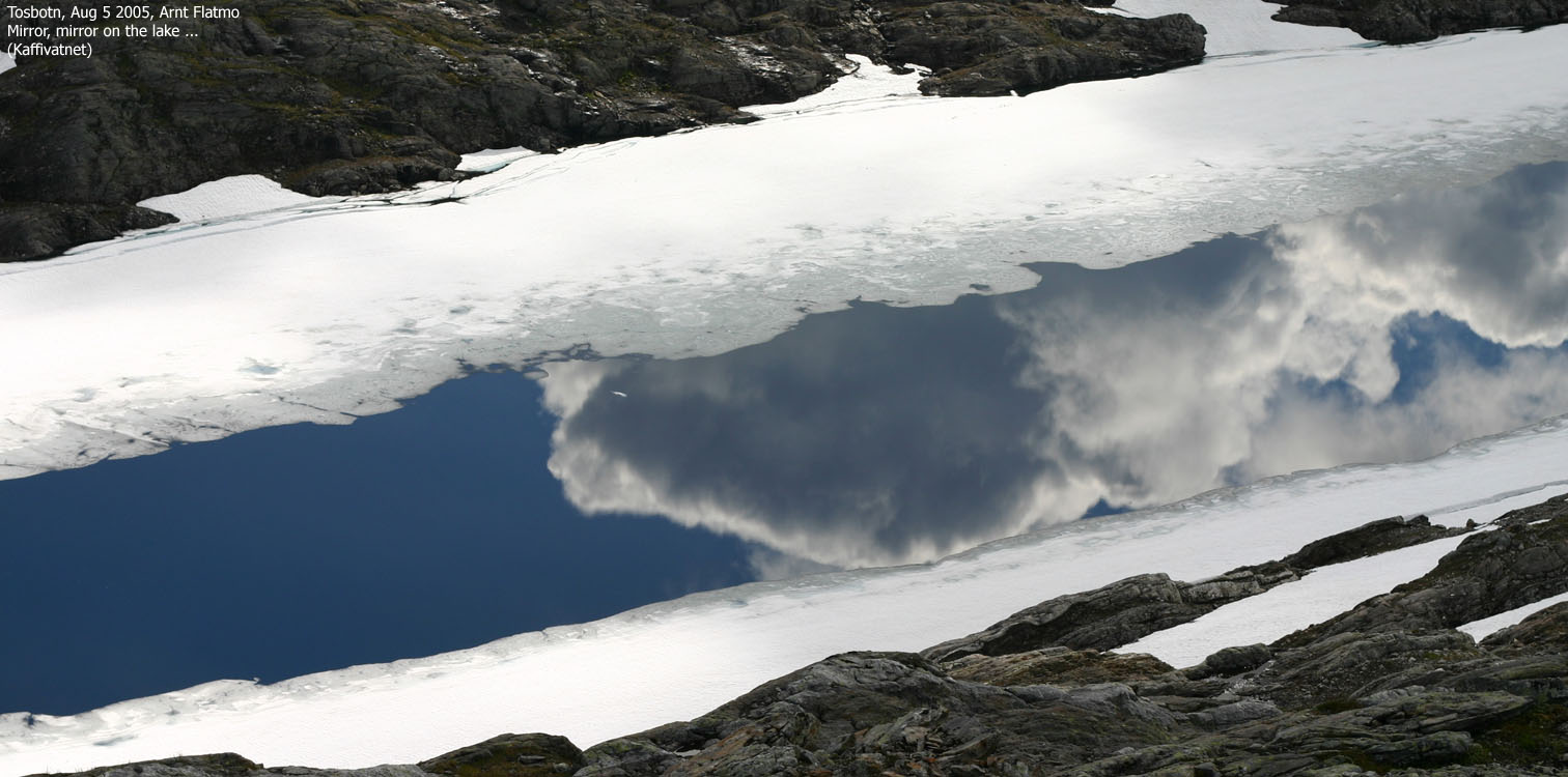
I reached Lake Kaffivatnet and was almost dying of thirst. I hadn't brought any water as I assumed there would be plenty of water sources above the valley lakes, but there wasn't. The Kaffivatnet water level was low, and there was no drain. I hoped the lake water would be OK as I simply had to satisfy the thirst at this point. The water seemed fine and I proceeded towards Breidvasstinden.
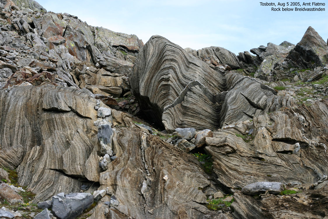
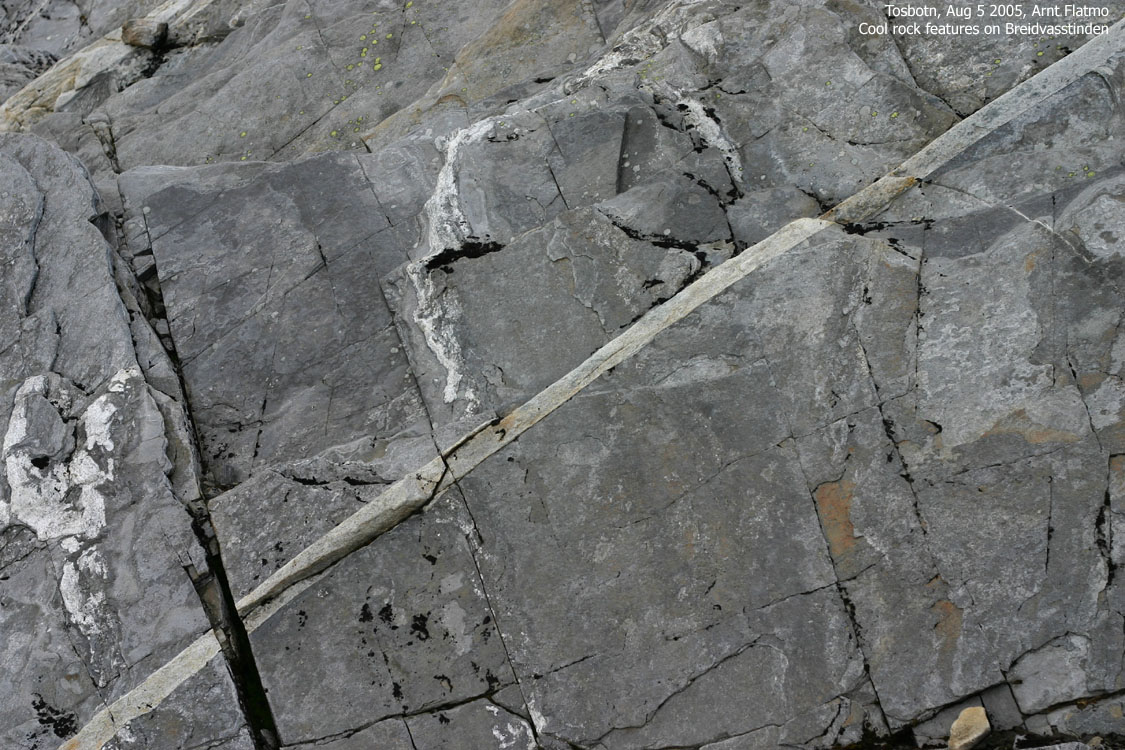
The overall terrain was sharp rock. Even with good boots, I felt it under my feet. The snow pitches were gradually increasing and I walked willingly on them. The summit still seemed far away, but I had already felt on that good feeling I always get when I *know* that I will reach the mountain. And return from it. Safe and sound. This is the best of moments. When I reach the top, I normally don't feel much. I enjoy the views, but the "celebration" is already over.
I reached the summit 12:20PM, 3 hours and 45 minutes after heading out. The views were astonishing. Coastal mountains from Bindal to Sandnessjøen in the west and truly back country towards the north, east and south. What a viewpoint! And I had earned a sandwich. I had noticed some ugly clouds move in from the east, but they seemed to pass directly south of - and below - Breidvasstinden. I couldn't feel a single drop, but only 10 minutes after I left the top, the rock was all wet. And now that the showers had passed, the day couldn simply not get better.
I considered alternatives for descent but ended up with following my upwards route. After a busy week in the mountains, I wanted to get home, have a shower, a few beers and a quiet evening at the house. I had a good pace and was back at the car 15:20PM. It had taken me 2 hours and 45 minutes to descend from the summit. I had walked approx. 23Km and gained approx. 1300m vertical meters. A good day in the mountains had come to its end.
Move cursor to read notes, and click on the images to see full version.
Some of the thumbnails may have been cropped to fit the format.
To the summit


Summit views


Descent


No Javascript:
1 2 3 4 5 6 7 8 9 10 11 12 13 14 15 16 17 18 19 20 21 22 23 24 25 26 27 28 29 30 31 32 33 34 35 36 37
Other hikes


No Javascript:
Other hordaland mountains
 Other Norwegian mountains
westcoastpeaks.com
Other Norwegian mountains
westcoastpeaks.com

